Hiking and trail running
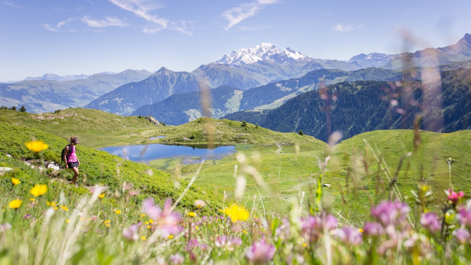
For hikers, the Beaufortain offers limitless possibilities, including alpine peaks, turquoise mountain lakes, high summer pastures and hamlets that still bear the traces of their agricultural past. The Tour du Beaufortain, known as the hikers ‘holy grail’, offers a comprehensive panorama of the area. But there are many other walks and trails all full of unexpected delights.
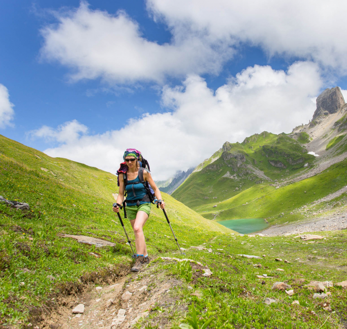
The Tour du Beaufortain
A six-to-eight-day, 140-km waymarked trek (GRP®) through the Beaufortain massif. The traditional starting-point is Queige, from where the trail climbs to Les Saisies. The trek takes in the Col du Joy, the Col du Bonhomme, Presset Lake, and the Cormet d’Arêches, coming back down to Queige via the Roche Pourrie.
Order the topoguide du Tour du Beaufortain
Book your refuges on the tour.

An app to guide you on your way
Before you go scrambling up the mountains, download this essential app! ‘Traces Alpines’ features real-time visual and vocal geoguiding on a route of your choice: hiking, trail, bike or mountain bike run.
On your smartphone, with one click, select your chosen route (according to duration, level of difficulty, location, etc.) and download it to your phone. You don’t need network access to use the app; just make sure you keep your phone charged and head off!
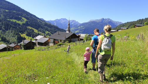
Ideas for hikes
If you’re looking for inspiration for your next holidays, check out a selection of waymarked hiking trails here.
Consult the interactive mapTrail running
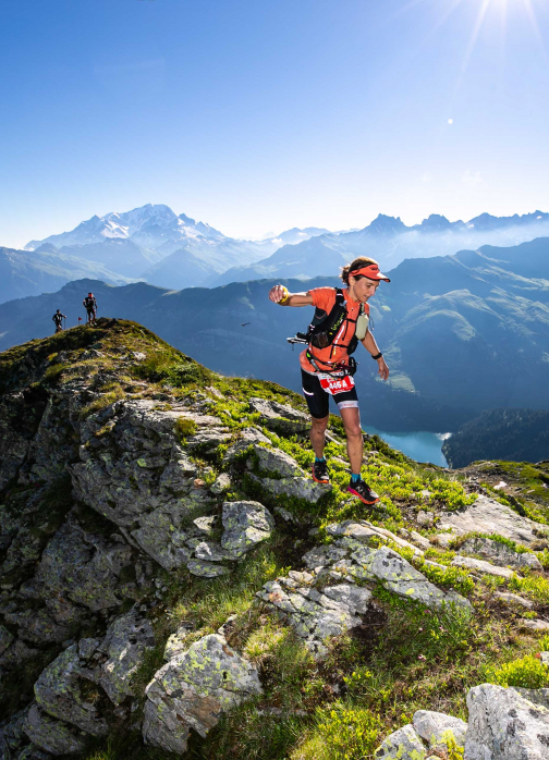
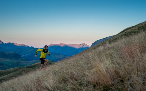
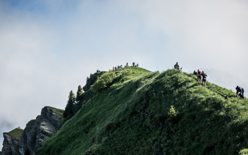
This is fantastic trail country. Top runners come here for the wide variety of trails, challenging technical difficulties and impressive elevation gains. Need proof? This is one of the places where elite French ultra runner François d’Haene (multiple winner of the planet’s top trails including UTMB, Grand Raid de La Réunion, Madeira Ultra-Trail) has chosen to train. But it also offers unrivalled opportunities for amateur runners of all levels who want a taste of trail running.

